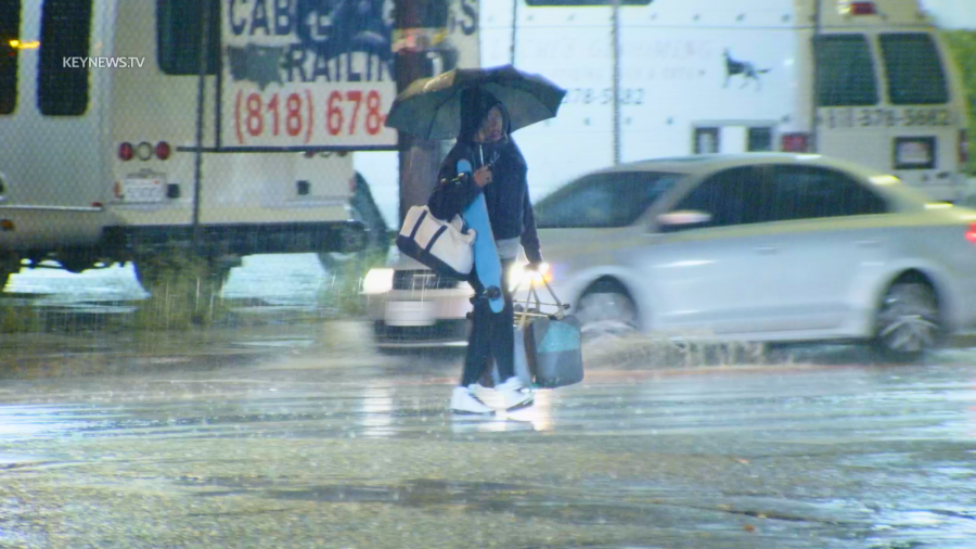
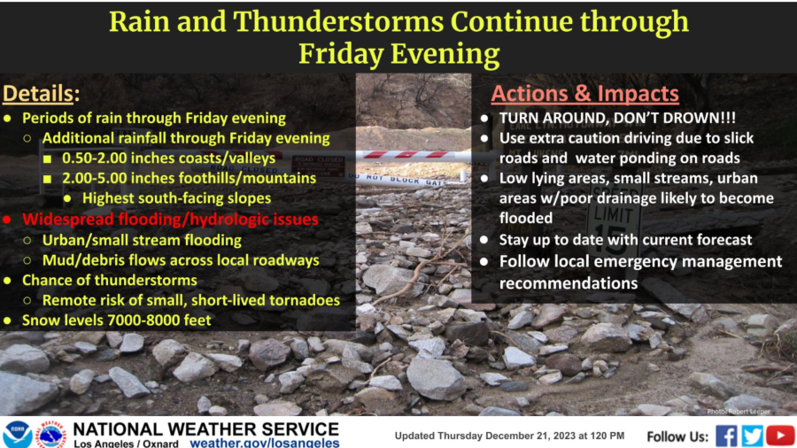
A slow-moving storm system that brought rain to the Southland this week is nearing its end but thunderstorms are still expected to pop up and bring strong downpours across the region on Friday.
The storm brought almost exactly what forecasters predicted, between 2 and 4 inches of rain across much of Los Angeles and Ventura counties.

Overall Friday, the area of low pressure has moved offshore and is moving to the south, said KTLA Meteorologist Henry DiCarlo.
“You’re going to have sunshine and start drying things out and effectively put an end to the rain,” Henry said.
There is still some uncertainty though when it comes to thunderstorms.
“We’re not going to see widespread blanket rain. Certainly not through Santa Barbara, Ventura and Los Angeles counties but a pop-up thunderstorm over these saturated areas could still cause some issues,” Henry said. “Thunderstorms are the wildcard.”
Thunderstorms, which can drop significant amounts of rain in a short time are very unpredictable.
“We can never decide, or at least forecast, where thunderstorms are going to pop up,” Henry said.

A flood watch is still in place for parts of Los Angeles County until noon Friday, according to the National Weather Service.
“The heaviest rain left from this system will fall over the Inland Empire and Orange County,” Henry said.
Rain and snow will also fall Friday over the mountain areas, especially Big Bear.
“We still have some pretty good cells moving over the mountain tops,” Henry said.
By Saturday, we are looking at a possible stray shower or two but mostly sunny skies and “smooth sailing through the weekend,” Henry said.
Great travel weather is expected for Christmas Eve and Christmas Day.


