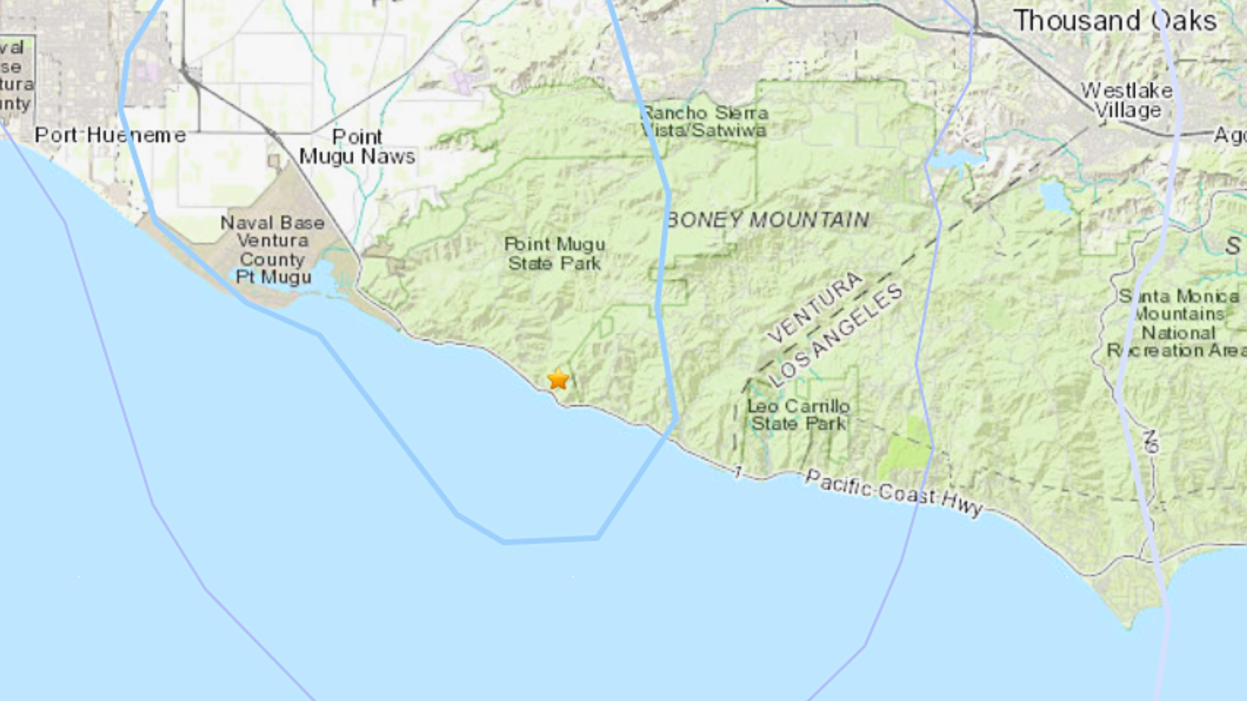
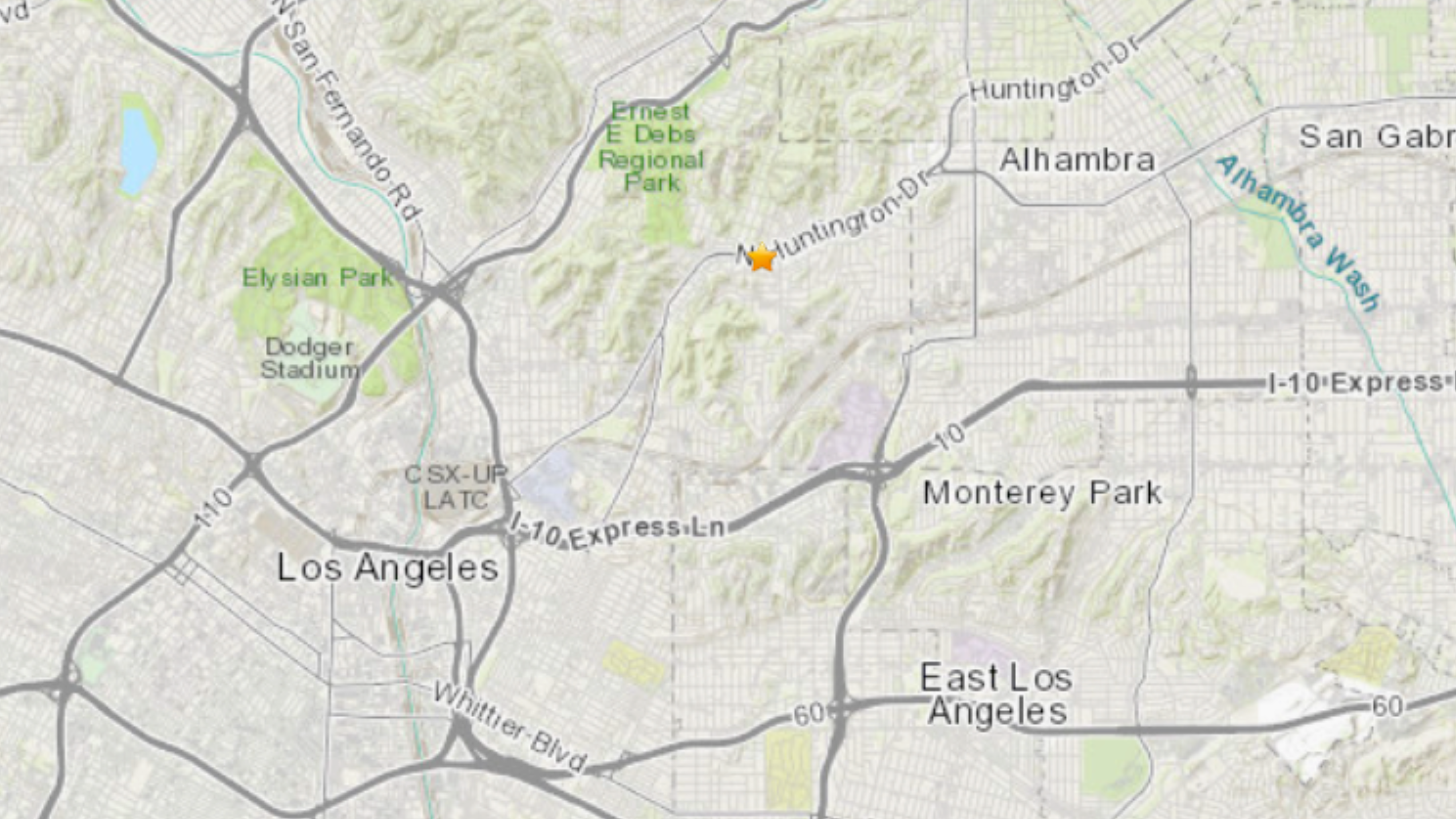
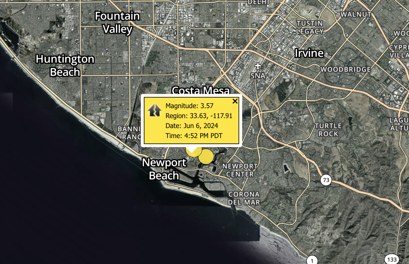
Track the latest minor and major earthquakes in California and around the globe with this interactive map. Data is provided by the United States Geological Survey.
Hundreds of earthquakes are recorded in California each year. Many are extremely minor, however, typically several dozen measure over 3.0 magnitude.
According to the California Department of Conservation, the strongest quake ever recorded in the Golden State measured 7.9 magnitude and struck Fort Tejon on Jan. 9, 1857.
Earthquake Resources:
- CDC: How to stay safe during an earthquake
- USGS: How to prepare for an earthquake
- What to do after an earthquake
On April 18, 1906, a 7.8 magnitude earthquake hit San Francisco, killing as many as 3,000 people. The strongest quake of this century, a 7.1 magnitude temblor, was recorded on July 5, 2019, in the Ridgecrest/Trona area. No fatalities were reported.
Only Alaska records more earthquakes per year than California in the United States.
There are over 500 active faults in California, according to the California Earthquake Authority, Most residents live within 30 miles of an active fault.
Earthquake Headlines