Gusty winds prompted a travel warning through parts of the Antelope Valley Monday as the rest of the Southland braces for a big warm-up later in the week.
California Highway Patrol officials took to X, formerly Twitter, early Monday morning to warn drivers of high-profile vehicles that travel on the 5 Freeway between Quail Lake and Frazier Mountain Road was “not recommended.”
The National Weather Service issued a wind advisory for the I-5 Corridor through 3 a.m. Tuesday for winds between 20 and 35 mph with gusts up to 50 mph.
The rest of Southern California can expect the usual morning clouds and cool temperatures Monday with a chance of drizzle possible for some areas.
That weather pattern will change by midweek as a significant warming trend is expected to take hold of the region.
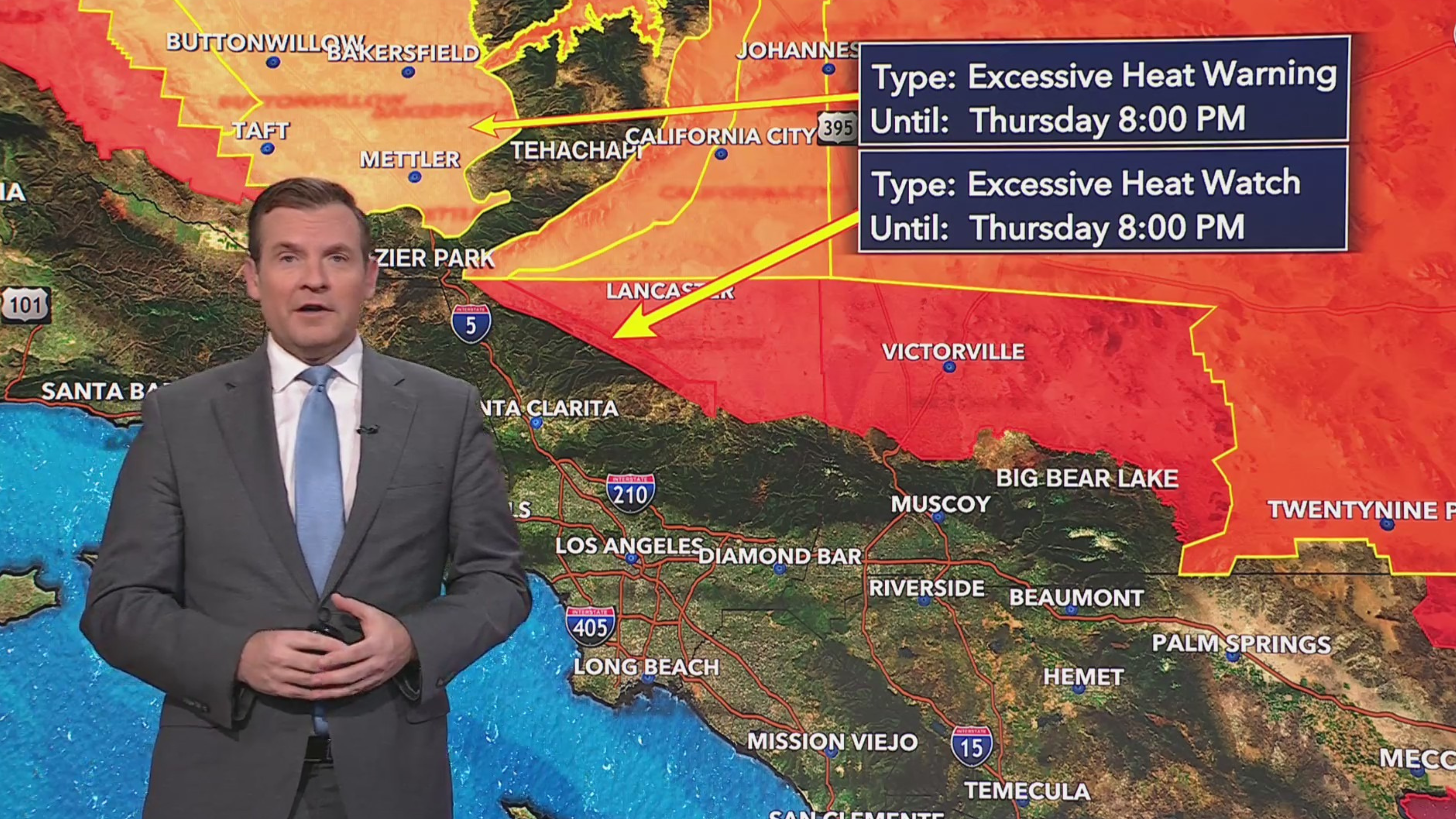
An excessive heat watch will is in place from Wednesday morning through Thursday evening for parts of Apple and Lucerne valleys, the eastern Antelope Valley, Elizabeth Lake and Lake Palmdale.
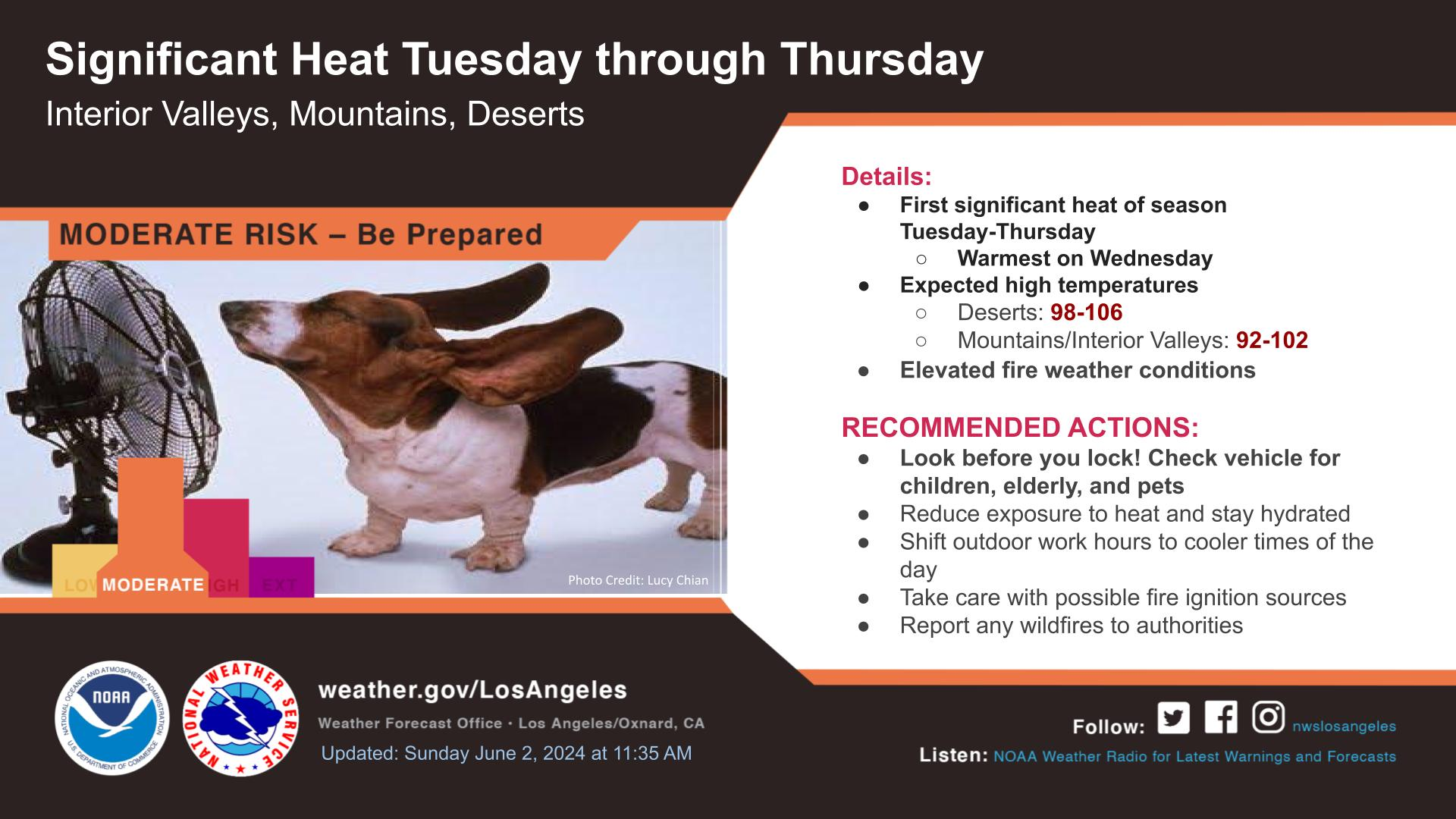
Wednesday is expected to be the hottest day of the week with some desert locations reaching as high as 106 degrees, according to the Weather Service. Several Inland Empire valley and mountain areas may also top out over 100 degrees.
The Weather Service urges motorists to check their vehicles for children and pets before locking the doors. Residents should also stay hydrated and reduce heat exposure as much as possible.