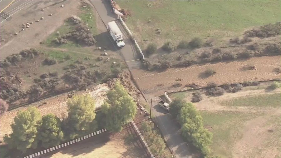
Torrential rainfall hit Southern California Thursday morning as a “bomb cyclone” delivered as expected.
Rain totals exceeded 2 inches in some areas of Los Angeles County by mid-morning with higher totals in the mountains and coastal valleys of Ventura County. The National Weather Service said the storm produced up to 1.25 inches of rain per hour in some locations.
Here are the NWS’s preliminary rainfall totals as of 12:30 p.m. Thursday:
- Old Man Mountain (Ventura County): 6.26”
- Sepulveda Canyon: 5.08”
- Beverly Hills: 3.22″
- Newhall: 3.15”
- Agoura Hills: 3.28″
- Van Nuys: 3.06″
- Pasadena: 2.70″
- Northridge: 2.75”
- La Cañada Flintridge: 2.68″
- Alhambra: 2.36”
- Calabasas: 2.27
- Culver City: 1.88″
- Castaic: 1.88”
- San Luis Obispo: 1.85″
- Ventura: 1.84″
- Downtown Los Angeles: 1.79″
- Long Beach: 1.74″
- Whittier: 1.25″
“In general, 1 to 3 inches of rain has fallen. Shower activity will continue behind the front,” NWS said in a bulletin, adding that the front had moved faster than anticipated through the Los Angeles area, reducing the amount of rainfall.
Concerns about potentially destructive winds also passed quickly with the front.
“The strong winds were ahead of the front and now that it has passed the winds have diminished and the wind warnings and advisories are no longer needed,” NWS said.
The rain overwhelmed storm drains, causing widespread, localized street flooding and standing water issues on major roads throughout the L.A. area. Officials were also keeping a close eye on wildfire burn scars.

K-rails were put in place in anticipation of flooding in Duarte, where a yellow alert has been issued. Trash bins and cars were ordered to be removed from the streets to keep them from floating away and make room for the K-rails.
The National Weather Service posted a map online of recent burn areas where a flood watch was in effect.
Snow levels remained about 7,000 feet Thursday morning but were expected to drop into the 5,500-6,500 range during the afternoon and evening, according to NWS.
“Mountain areas above 6,000 feet will see accumulating snow, just not as much as previously thought. Revised snow forecast calls for about a foot of snow across the highest peaks and so snow amounts of 1 to 2 feet are expected for those higher peaks with 3 to 6 inch amounts possible for elevations above 6,000 foot elevations,” NWS said.
Farther north in California, the bomb cyclone is blamed for the deaths of at least two people and knocked out power to tens of thousands.
In Occidental in Sonoma County, Volunteer Fire Chief Ronald Lunardi said a child believed to be under 2 years old died Wednesday night after a tree fell on a home, The Press Democrat reported. In Fairfield, a 19-year-old woman died after her vehicle hydroplaned on a flooded road and hit a utility pole, police posted on Facebook.
“We anticipate that this may be one of the most challenging and impactful series of storms to touch down in California in the last five years,” said Nancy Ward, director of the California Governor’s Office of Emergency Services.
Showers are forecast to taper off Thursday evening with drier conditions continuing through the weekend. The Southland is likely to see more rain, although not as heavy, next week.
The Associated Press contributed to this report.


