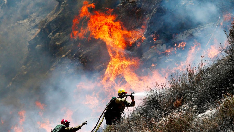
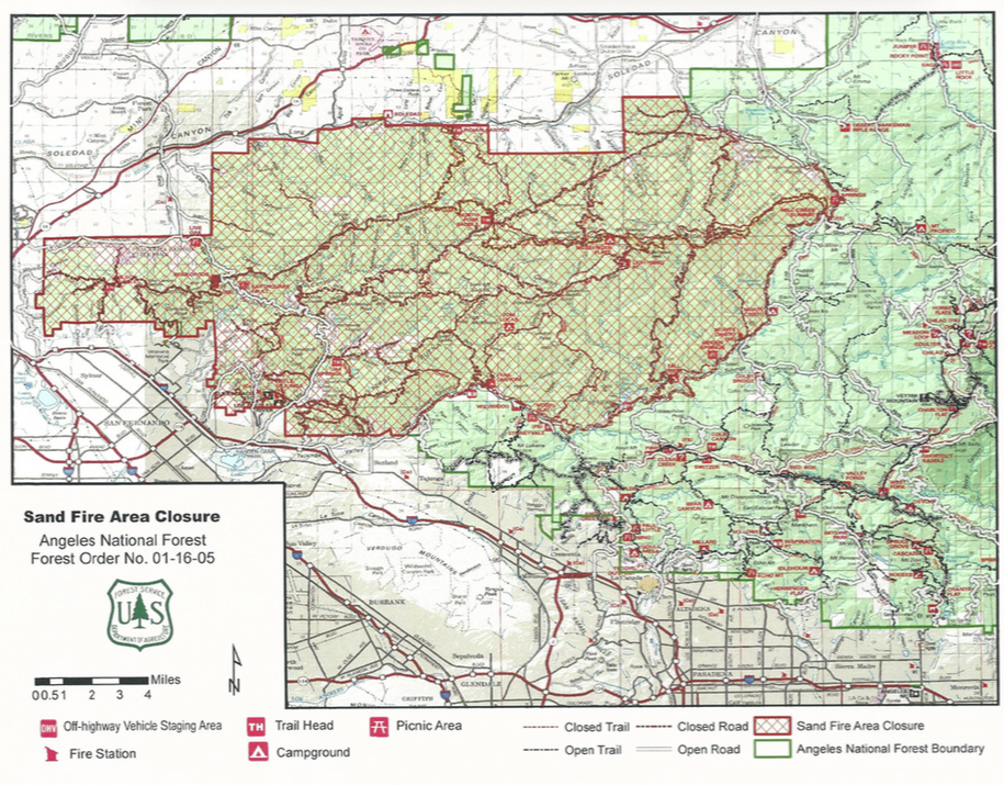
As firefighters continued to make progress Wednesday in their battle against the Sand Fire east of Santa Clarita, the burn area in the Angeles National Forest was ordered closed to the public.
The fire, which has burned about 38,346 acres or nearly 60 square miles, was 40 percent contained Wednesday, up from 25 percent the day before, according to the federal InciWeb information page dedicated to the wildfire.
The Angeles National Forest issued a closure order Wednesday afternoon, including roads and trails within the burn area. Violations could result in a fine of up to $5,000.
About 10,000 homes were evacuated as the fire burned out of control over the weekend, but most residents were allowed to return on Monday.
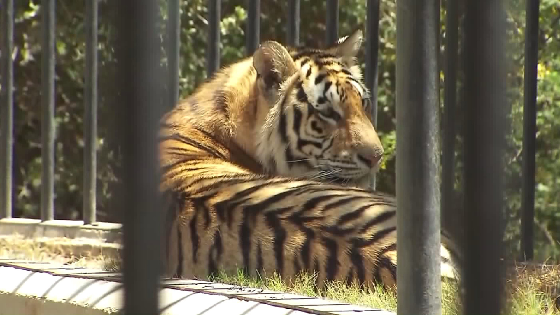
On Wednesday, exotic animals that had been evacuated from the Wildlife Waystation in the Angeles National Forest were returning home.
Evacuation orders were ongoing for Little Tujunga Canyon Road from the Wildlife Way Station to Sand Canyon Road and for Placerita Canyon Road, according to the InciWeb page.
Evacuation centers at Hart High School, located at 24825 N. Newhall Avenue in Santa Clarita, and Highland High School, located at 39055 25th Street West in Palmdale remained open, according to the InciWeb page.
Nearly 3,000 firefighters were still on hand Wednesday, working to put out the blaze that destroyed 18 homes after it began Friday along the northbound side of the 14 Freeway near Sand Canyon Road.
Investigators have not determined a cause for the fire.
KTLA’s Melissa Pamer contributed to this article.