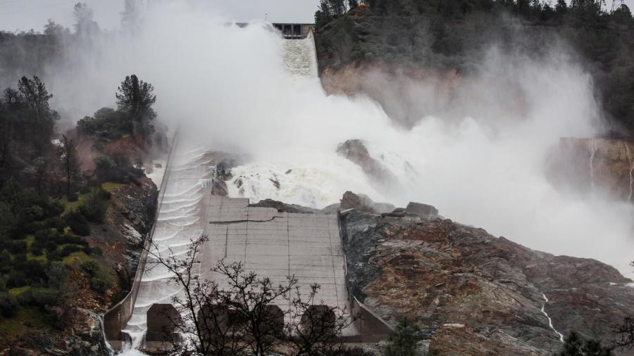
Officials said there was a high risk of flooding in parts of already-saturated Northern California as the latest “atmospheric river” storm moved in.
The National Weather Service on Sunday said the highest risk for flooding was in a large swath of the region from Monterey to Marin County on the coast then into the Sacramento Valley and Sierra Nevada. The storm is expected to put added stress on levees, streams, creeks and rivers that are already approaching dangerously high water levels.
Parts of Northern California are already on track to have the wettest winter ever recorded.
On Sunday, the NWS warned that the San Joaquin River at Vernalis “has reached danger stage. Greater risk for levee problems.”
Click here to read the full story on LATimes.com.