A mix of rising global temperatures, mysteriously warmed waters off Baja California and unusually far-reaching storms in the western Pacific Ocean conspired to block this year’s El Niño storms from hitting Southern California, the National Weather Service said this week.
Despite plenty of indicators suggesting that the 2015-16 El Niño rains would be as strong — if not stronger — than previous Southland El Niños, heavy precipitation failed to materialize. Instead, the storms flowed north from the Bay Area to Washington, drenching the Northern Sierra Nevada and refilling some of the state’s biggest reservoirs.
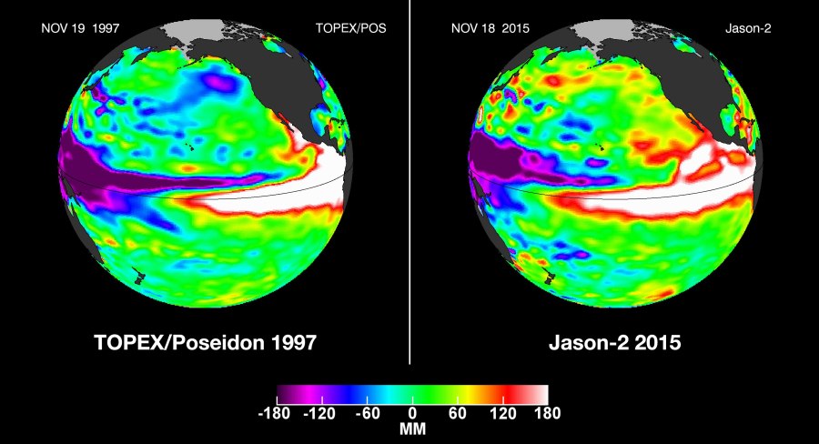
In recapping this year’s El Niño phenomena — the first since the winter of 1997-98 — the National Weather Service said the pattern “flipped” from prior El Niños that left the Northwest relatively parched and the Southwest soaking wet.
Although experts anticipated that February would be the wettest month of the year for Southern California, because of El Niño’s influence, it was actually the driest in 30 years.
Click here to read the full story on LATimes.com.