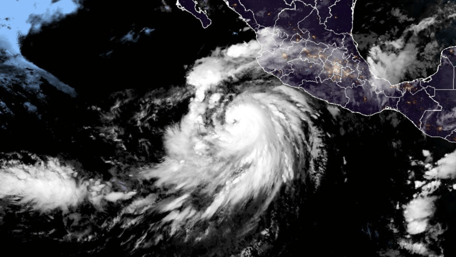
Several powerful storms develop in the Pacific Ocean every year but seem to lose their steam by the time they reach the Southland.
With the development of Hurricane Hilary Thursday, KTLA meteorologist Henry DiCarlo explained why many of these Pacific storms, even the ones that reach hurricane status, are such duds by the time they get to us.
The tropical systems typically develop south of Baja Californa near the equator, where the water is warmer. “Warm water is what fuels and builds storms into tropical systems,” Henry said.
As the systems continue building in the ocean, often tracking parallel to Mexico, the eyes of the storms become well-developed, sometimes reaching hurricane levels.

Once a storm reaches the cooler waters off of Baja or makes landfall, usually before it reaches California, it quickly diminishes.
“Remember, these tropical systems develop from warm, humid, rising air. So, once it moves over land, it loses it,” said Henry, who further described the process. “Think of a pot of boiling water and then you turn off the heat. The water is still hot, and it may still boil for a little bit, but eventually, it’s going to dissipate.”
The storms, although weakened, can still bring a lot of rain and wind damage.
The last really powerful tropical storm hit Southern California near San Pedro in September of 1939.
The storm brought large waves and heavy rain to the Belmont Shore area in Long Beach.
Some homes were washed out to sea and 48 people were killed.


